Advanced Analytical Solution With Custom-Reporting Capabilities
Transform Data into Actionable Insights
Trusted by Most Popular Brands


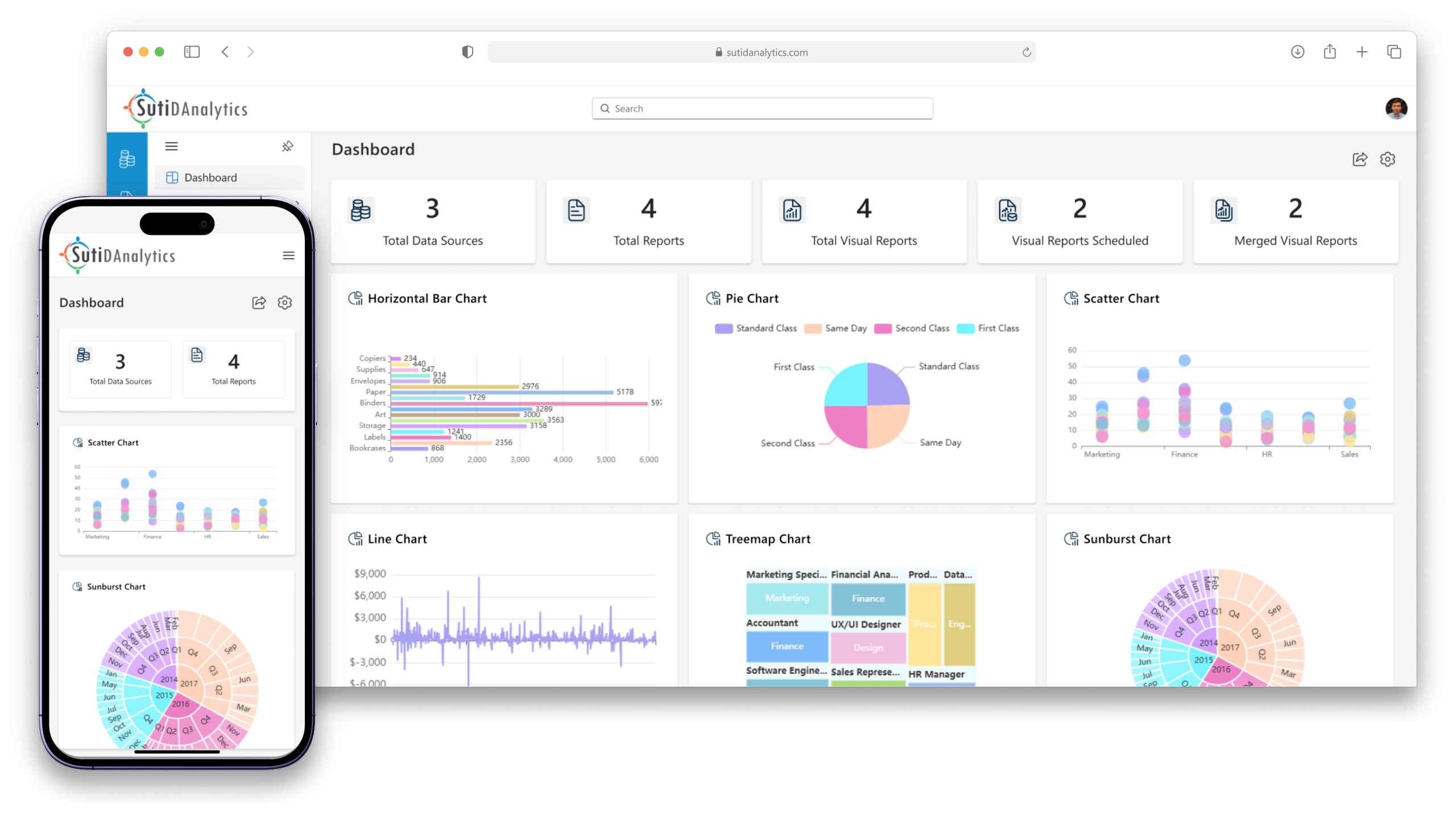
SutiDanalytics is the perfect solution for businesses looking to gain valuable insights into data. Our platform offers advanced features for data collection, processing, analysis, and visualization, allowing you to focus on what really matters.
Key Features
Automated accounts payable software can reduce your payment processing time & costs by over 80%
Data Integration
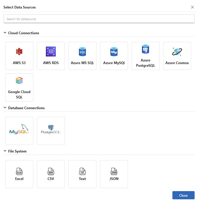
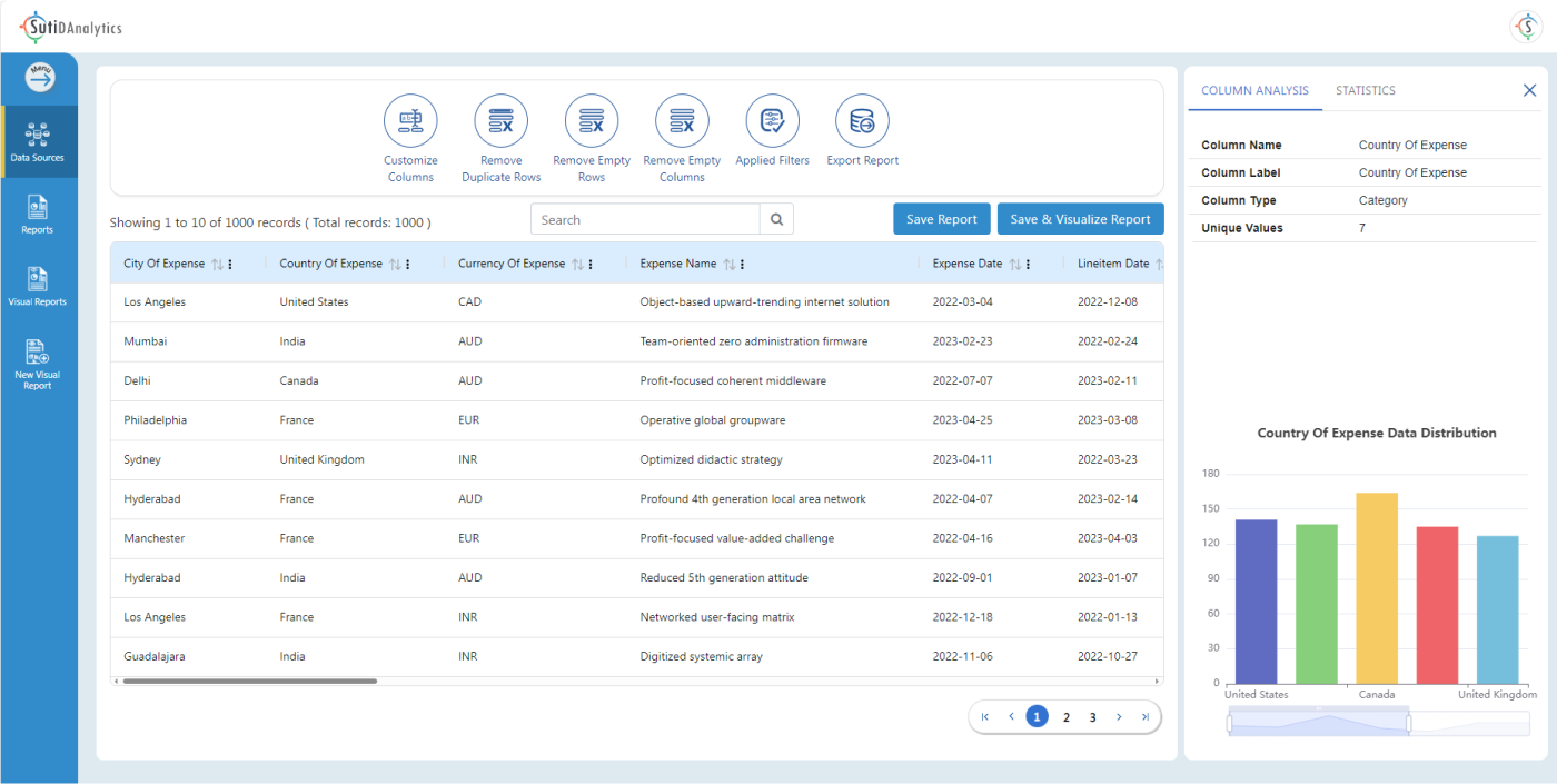
Our platform integrates data from various sources, including databases, spreadsheets, cloud storage, and APIs, while ensuring data accuracy and consistency with our effective data cleansing capabilities.
Data Exploration
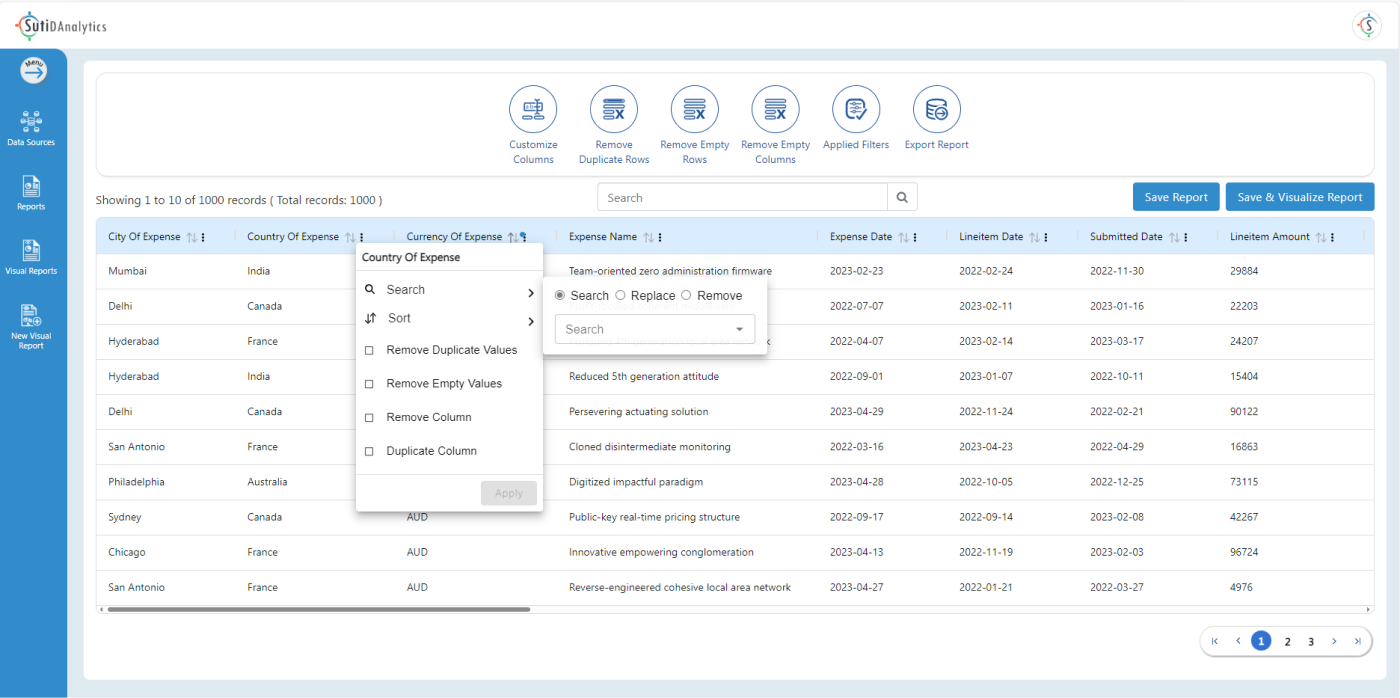
Explore your data with our intuitive search, drill-down, and filtering options, and perform in-depth data analysis to uncover valuable insights.
Data Analysis
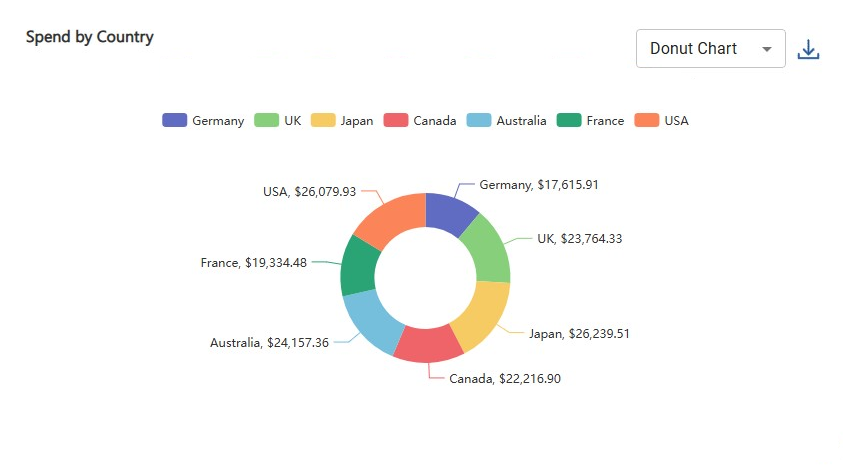
Equipped with powerful statistical and trend analysis capabilities, SutiDAnalytics enables you to delve deep into your data, uncovering key patterns and insights. Descriptive analytics helps you to forecast trends and offers a comprehensive way to summarize and interpret the data.
Reports & Dashboards
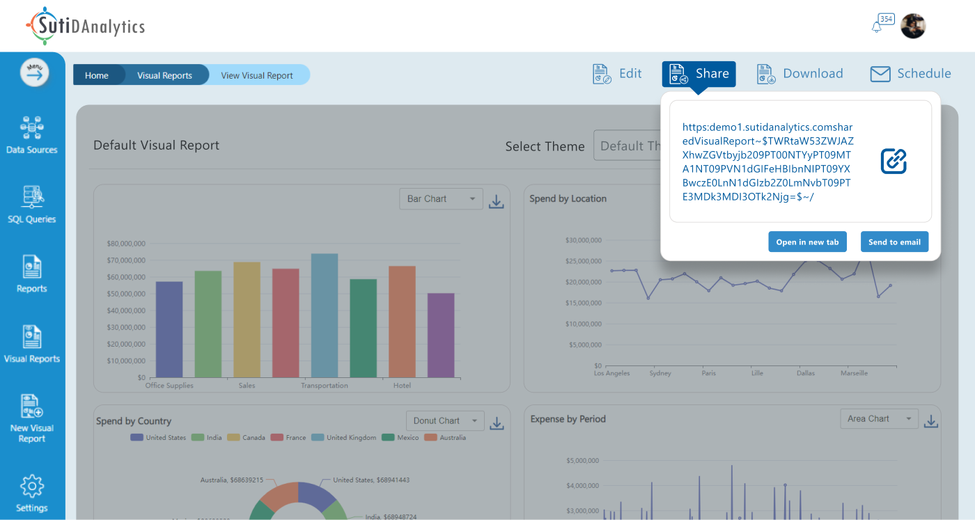
Monitor key performance indicators (KPIs) with customizable dashboards and generate automated reports that are shareable with stakeholders via a dynamic link.

Real-time Analysis
Data Modeling
SutiDAnalytics enables businesses to process and analyze data in real time, perform advanced analytics and predictive modeling, mine data for patterns and insights, and cluster and segment customers.
Data Security
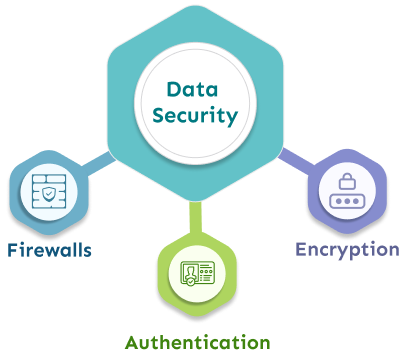
We follow industry standards to ensure data security, including role-based access control, data encryption, compliance with GDPR and SOC2, and detailed auditing of data changes and user activities.
Collaboration and Sharing
Our system integrates seamlessly with popular collaboration tools like Slack, Microsoft Teams, and email, fostering collaboration and knowledge sharing.
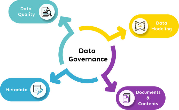
Data Governance
Take control of your data and gain complete visibility with our comprehensive data cataloging, metadata management, and advanced data governance features. Make informed decisions with accurate data lineage.
Data Visualization
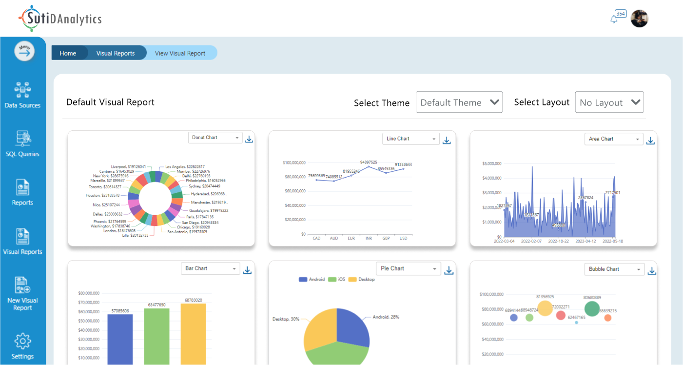
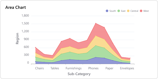
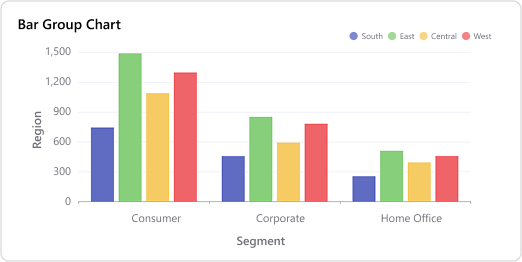
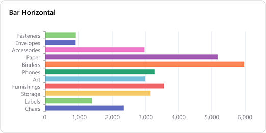
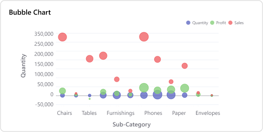
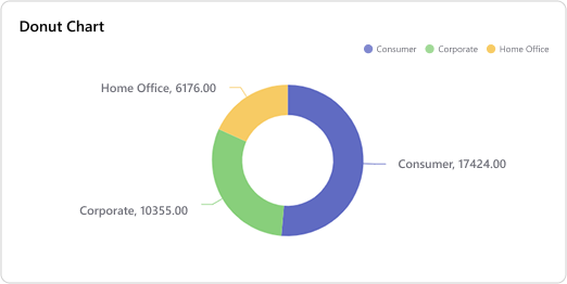
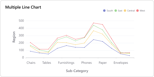
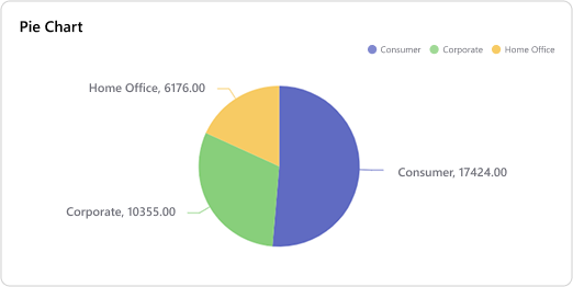
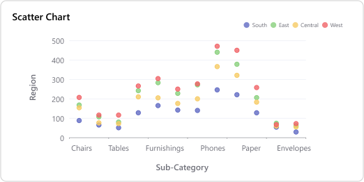
Create rich, interactive charts and maps that can be portrayed into a multi-dimensional view with data visualization. The solution features advanced geospatial and location analytical capabilities, allowing you to make in-depth geographical mapping and spatial pattern analysis.
Mobile Access
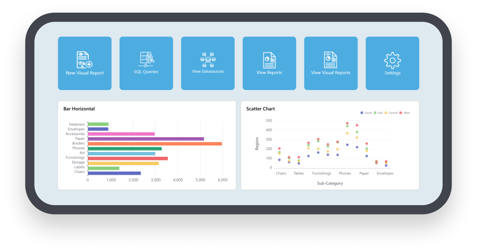
View essential data on the go with our mobile-friendly dashboards and reports. Our system’s responsive design guarantees compatibility with different devices.
See What Our Customers Say


Speak to our product experts today for more information on DAnalytics
SutiSoft respects your privacy.
©
SutiSoft, Inc. All Rights Reserved


